When working in the hydrographic survey industry, you cannot go too far without bumping into an opportunity related to the Oil & Gas industry. The two industries have a harmonious relationship. With the hydrographic industry acting as a vital support service to the oil & Gas industry. Through the acquisition, processing and managing of hydrographic data sets it relates to the core activities of oil companies.
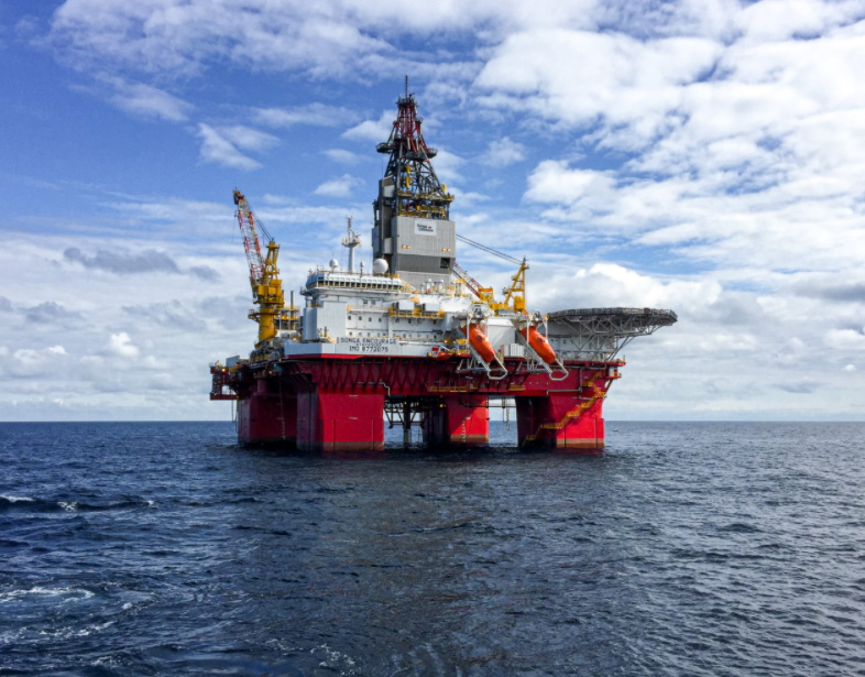
We often think of the two being linked in a deep water environment for the purposes of drilling and exploration. So it came as an interesting surprise to Total Hydrographic when we were enlisted to do a reconnaissance survey for a rig looking to anchor in the shallow seas of Port Phillip Bay.
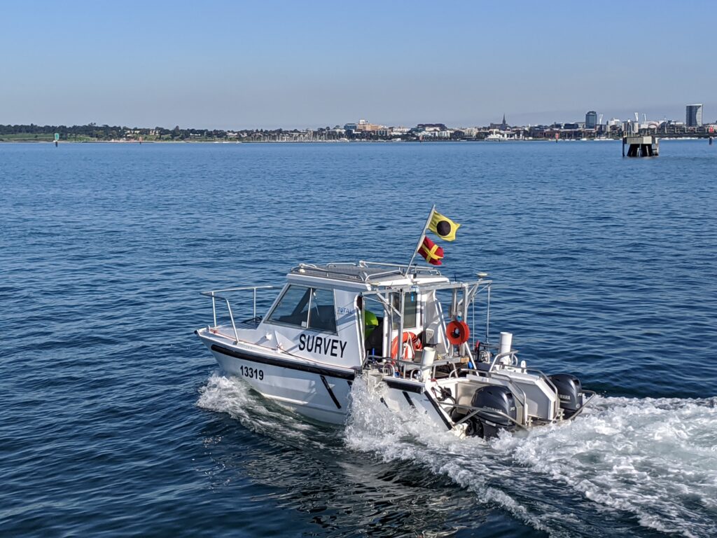
We were tasked with the objective to provide a feature and hazard detection survey to ensure the intended location of the rig was suitable and safe. To achieve this, Total Hydrographic was able to rapidly mobilise its survey vessel Total 1 to conducted 3 separate surveys across the chosen survey extents.
Total hydrographic conducted the following:
- Multibeam Echo Sounder (MBES) bathymetric survey
- Towed Side Scan Sonar (SSS) Survey
- Towed Magnetometer Survey
Multibeam Echo Sounder (MBES) bathymetric survey
The multibeam survey was performed using a Dual Head R2Sonic 2020 system and positioned by an Applanix POSMV Wavemaster II with RTK GNSS positioning. This system was fully calibrated and validated before data capture to ensure that the survey exceeded IHO Special Order requirements. This was especially important since Under keel clearance was imperative in this project.
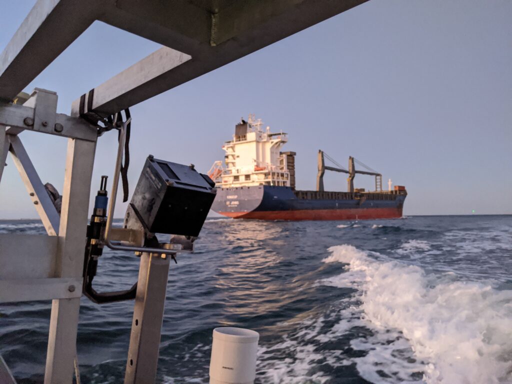
Towed Side Scan Sonar (SSS) Survey
A custom tow fish mounting bracket was designed and fabricated at Total Hydrographic to mount our Tritech Starfish 990f. This allowed for greater stability and control during tow fish operations. The side scan survey was undertaken to identify any features that may not have been detected by the MBES. It was also used to identify any variances of seabed substrate across the survey extents.
Towed Magnetometer Survey (MAG)
A Geometrics G882 towed Magnetometer was utilised to detect any magnetic anomalies which could indicate potentially hazardous ferrous objects present in the survey area.
To provide the data in the timeframe the client required, data was transmitted to Total Hydrographic’s servers during survey to be processed onshore in near real-time
By incorporating three different hydrographic sensors into the survey, Total Hydrographic mitigated any uncertainty of undetected features that may have posed a risk during rig manoeuvre operations. This was just a small example of how both Hydrographic and Gas/Oil industries complement and support each other.
To discuss the requirements of your next project contact Total Hydrographic today!
Recent Comments